
Mini Guide: Waterfall Hiking in Munduk, Bali (No Guide Required)
Tucked into the mountains of North Bali, Munduk is all rolling forest and misty mountain views, totally different from the rest of the island. Its handful of villages are strung along winding roads, and it’s where you’ll find some of the best waterfall hiking on the island.
In my experience, it's the best part of Bali for hiking, full stop. The trails are beautiful, the homestays and forest cabins are quaint and affordable, and the whole place runs at a slower, mountain-village pace.
Munduk is a place to go and not do too much. Trek in the morning. Eat a plate of fried noodles or rice for lunch. Spend the afternoon at your homestay staring at the tree-lined horizon. End the day with a home-cooked dinner and a ginger tea (or a Bintang, I'm not judging).
This guide is for anyone who wants to hike the Munduk waterfalls on their own, without a guide. I'll walk you through the trailhead I recommend, how the trail network fits together, four routes depending on how much you want to do, and what to bring so you're not caught squelching around in the wrong shoes.
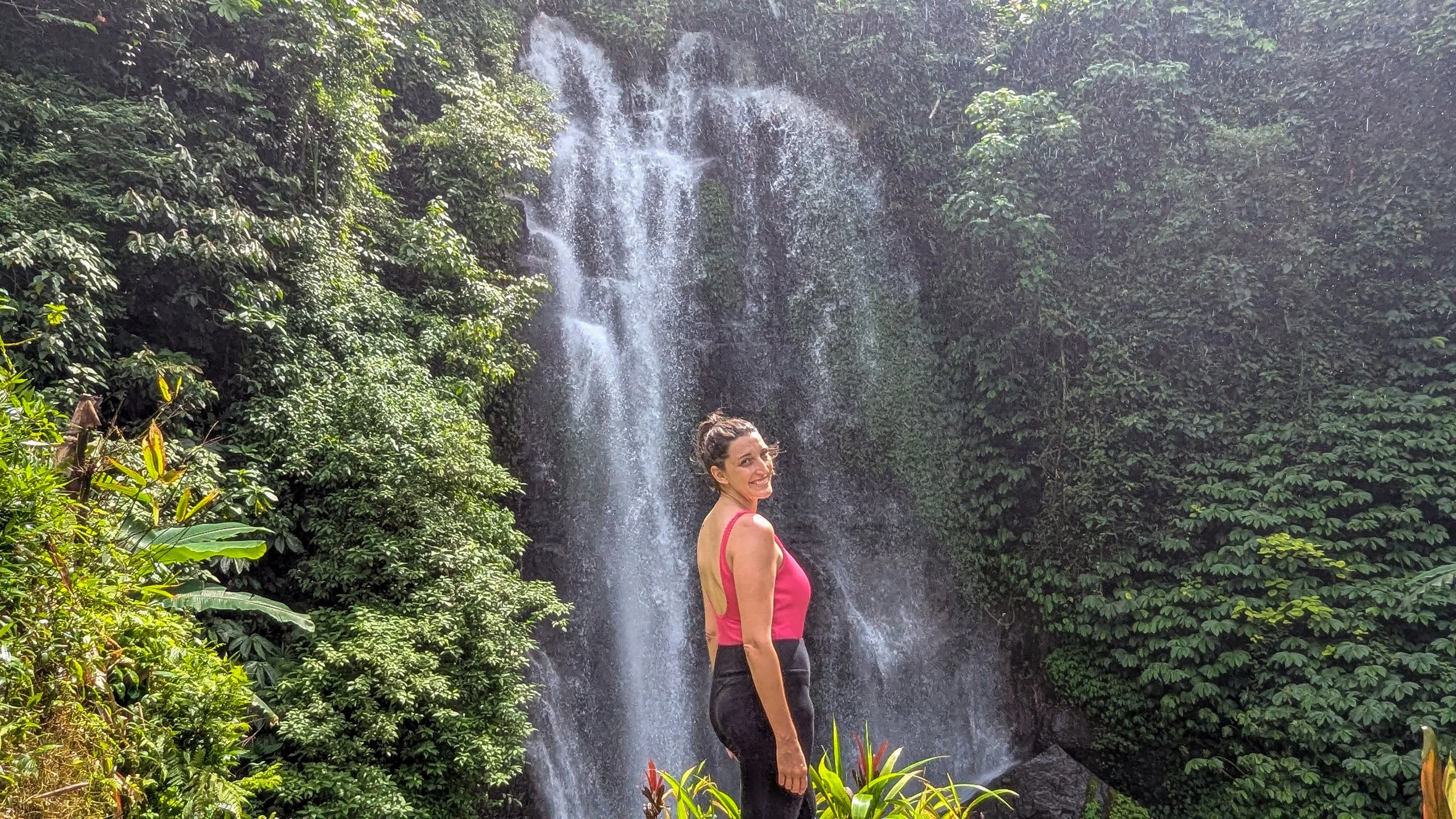
IN THIS ARTICLE:
Quick Facts: Munduk Waterfalls
| Altitude | Around 800–1,000 m (cooler, but not high altitude) |
|---|---|
| Opening hours | Roughly 7 AM to 6 PM daily |
| Entrance fees | 20,000–45,000 Rp per person per waterfall (about $1–2.50 USD), cash only |
| Time needed | Customizable, 1–4 hours |
| Best time of day | Morning, for sunshine and fewer crowds |
| Best months | April to June, or September to October |
| Difficulty | Easy to moderate; stairs at every waterfall, and a short challenging stretch to Golden Valley |
When to Hike Munduk’s Waterfalls
Munduk gets more rain than the rest of Bali (that's the mountains for you), so timing matters. I recommend April to June or September to October. You've got better odds of dry trails, and the waterfalls still have a good flow.
One catch: if it's been very dry for a while, the waterfalls can be a bit underwhelming. A trickle is still pretty. It's just not what you came for. Always adjust your expectations when dealing with Mother Nature :)
Whatever month you go, hike in the morning. The sun is usually out, the trails are quieter, and you'll be back for lunch before the clouds or mist roll in.
Keep in mind that if you go right after the rain, the waterfalls will be stronger but the trails may be muddy and slippery. Adjust footwear accordingly and watch your step.
Getting to the Trailhead
Munduk's villages are spread out, and it's not a walkable area. Unless you're staying at the trailhead or travelling Bali by scooter, you'll want a driver for getting around.
For the waterfall hike, you've got two good options:
Stay at a homestay right at the trailhead, like Adila Warung & Homestay, so you can roll out of bed and onto the trail.
Hire a driver to drop you off in the morning and pick you up wherever you finish (see some options below)
If you're staying elsewhere and thinking of walking to the trailhead, please be careful. There are no sidewalks, and the roads are steep and full of blind corners. Make sure you can see oncoming traffic and that it can see you.
And get yourself a working eSIM before you go. Signal is patchy in places, but you'll want to be able to message your driver when you're done.
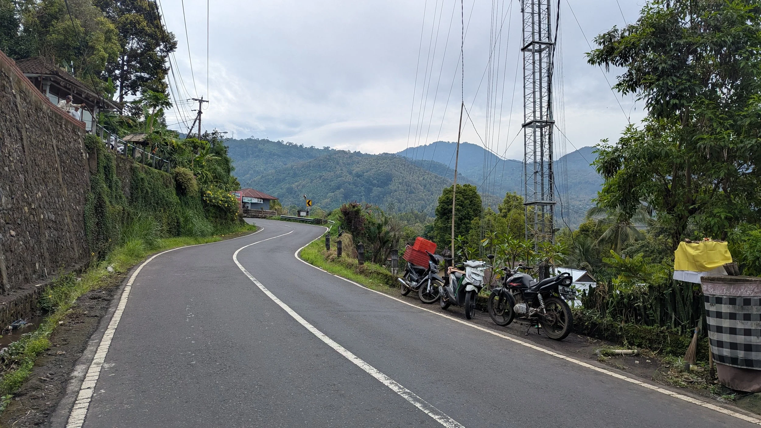
Exercise caution if walking around Munduk — there are no sidewalks and windy/hilly roads, making it challenging for traffic to see you.
Start at the Waterfall Track Parking next to Adila Warung
The hike I'm recommending isn't a single trail. It's a network of paths connecting several waterfalls, which means you can make it as short or as long as you like.
I suggest starting at the trailhead next to Adila Homestay, called “Parking Waterfall Track” on Google Maps.
You can loop back here at the end and have lunch at Adila's warung, a local restaurant with a great view, or keep going to the more remote waterfalls and get picked up at the other end.
How the Trail Works
From Adila, you'll start on a nice, easy path that switches between concrete and dirt. Not long in, you'll pass the entrance to a waterfall I believe is called Belong Waterfall (20,000 Rp per person). You can pop in now, or save it for the walk back.
About 15 minutes in, you'll reach a fork with signs:
Left to Melanting Waterfall and Labuhan Kebo Waterfall
Right to Red Coral Waterfall, and beyond it (if you want a challenge), Golden Valley Waterfall
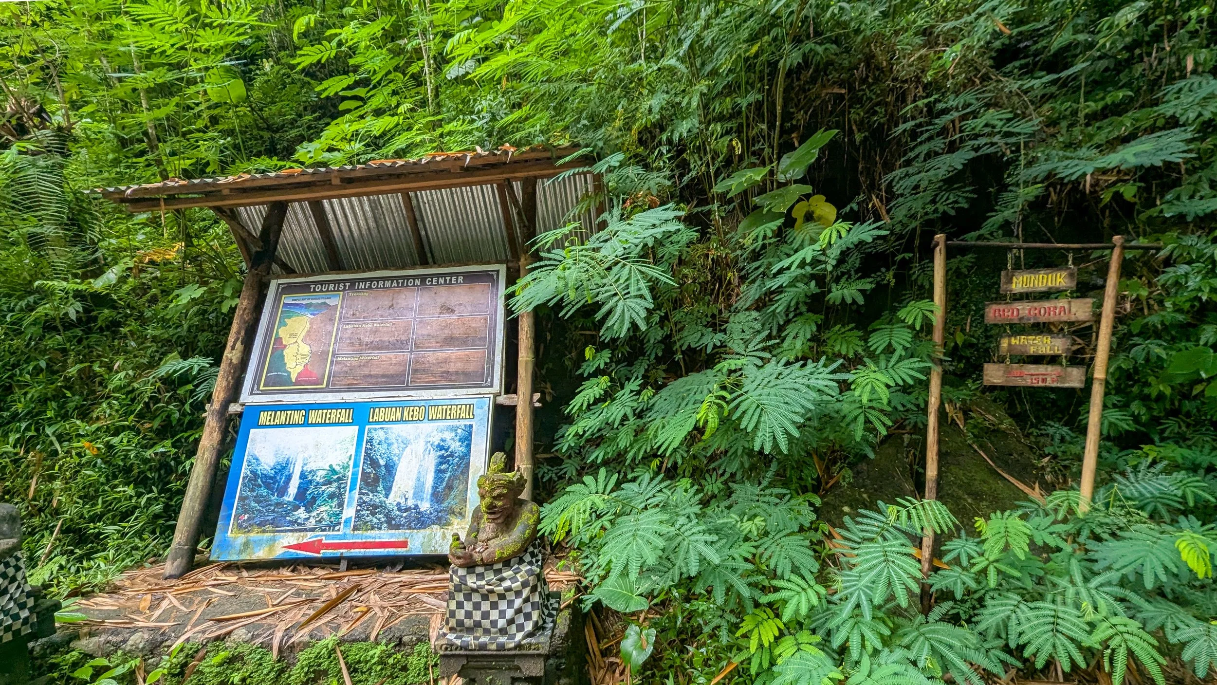
This is the signage you’ll see when you come to the fork in the road from the recommended trailhead. Turn left for Melanting or Lebuan Kebo Waterfalls, or turn right for Red Coral Waterfall (and also, eventually, Golden Valley).
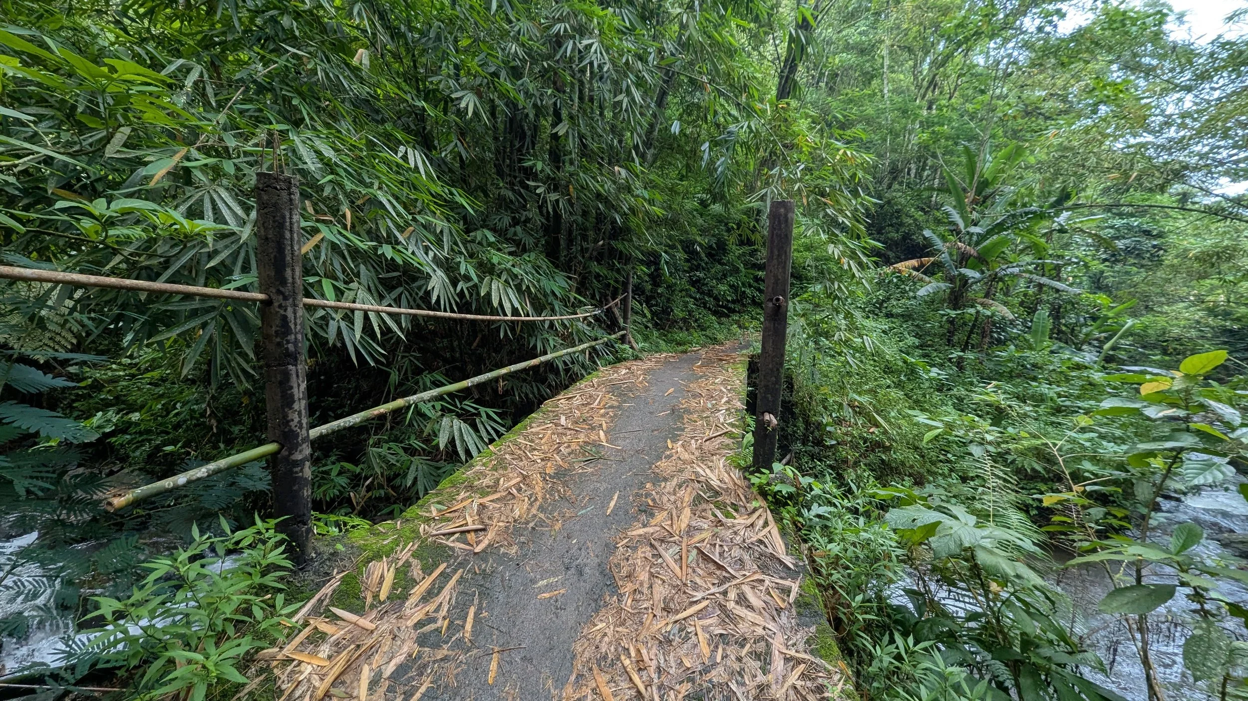
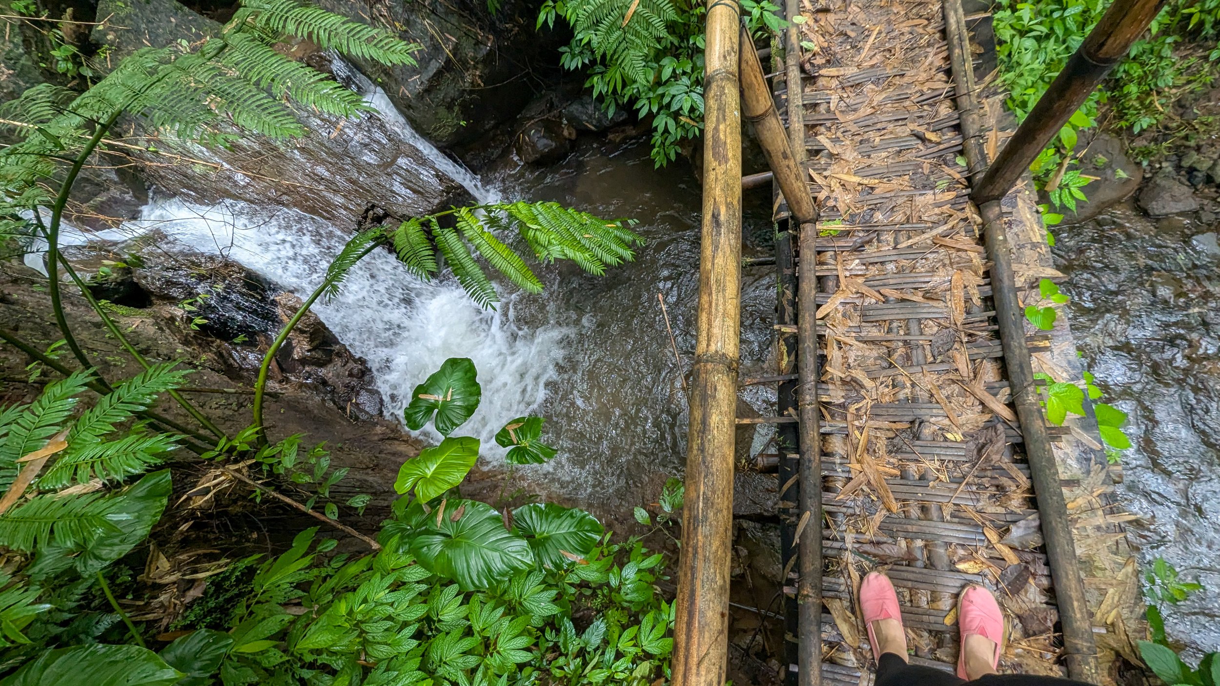
The trails are mostly well maintained: packed dirt, concrete, stone steps, and the odd bamboo bridge. Stairs are part of nearly every waterfall visit, so expect some leg burn. Only one section is properly tricky, and that's the stretch to Golden Valley. I'll flag it below.
Along the way, look out for clove and cinnamon trees, lots of pretty flowers, and a few kiosks selling Balinese spices, masks, fans, small statues, etc. Some of the spice selections are genuinely lovely, so leave a little room in your bag.
Four Waterfall Hiking Routes to Choose From
All four of these options start at the parking lot marked above, next to Adila. The first three loop back there, so there's no driver logistics to sort out. The fourth ends at Golden Valley, so you'll need a pickup on that side (pinned below in Option 4).
Option 1: Red Coral and Belong (shortest & easiest)
Easy and short · mostly flat · ~1 hour · start and finish at Parking Track Waterfall
Turn right at the fork and walk to Red Coral Waterfall. On the way back, stop in at Belong Waterfall. This is the shortest route with the fewest stairs, so it's a good pick if you just want a taste. You could do this in about an hour.
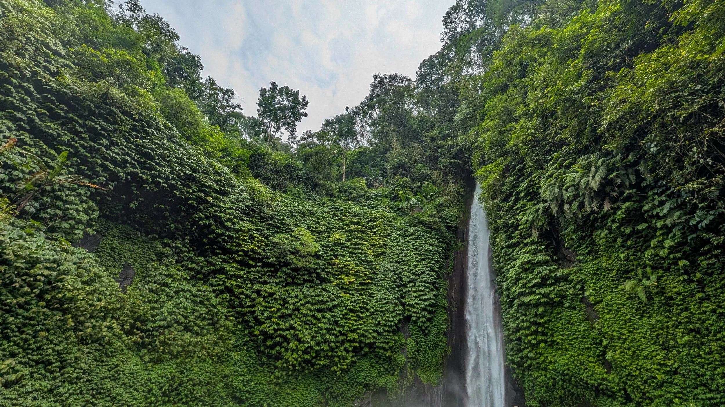
Red Coral Waterfall
Option 2: Labuhan Kebo and Melanting
Easy and short · mostly flat · ~2 hours · start and finish at Parking Track Waterfall
Turn left at the fork and walk to Labuhan Kebo Waterfall. Enjoy a visit there, then carry on a little further to Melanting Waterfall, if you like.
From there, turn back down the trail you came on, towards the fork in the road with the sign, but before you carry on, treat yourself to a refreshment at a cafe like Melanting Eatery.
Turn right at the fork in the road to get back to the trailhead, with the option to stop at Belong Waterfall on the way back.
Heads up: Labuhan Kebo and Melanting both involve a lot of stairs. They're stone and in good condition, but your calves will know about it.
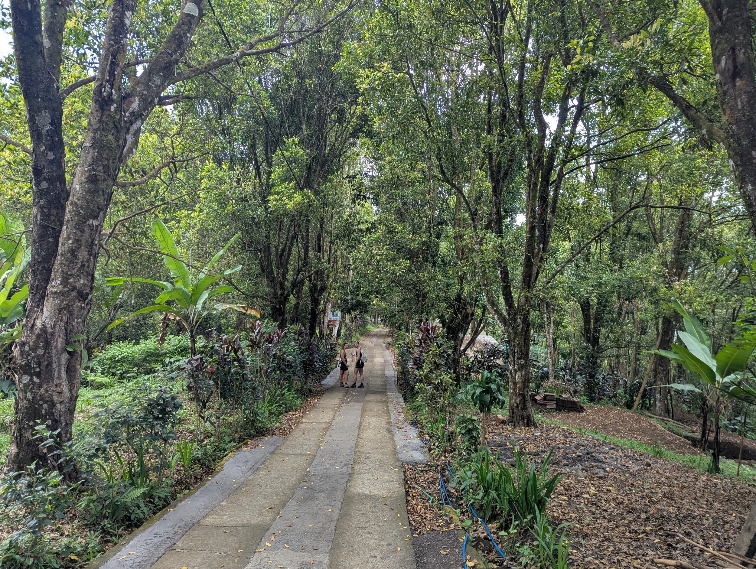
The way down to Labuan Kebo Waterfall
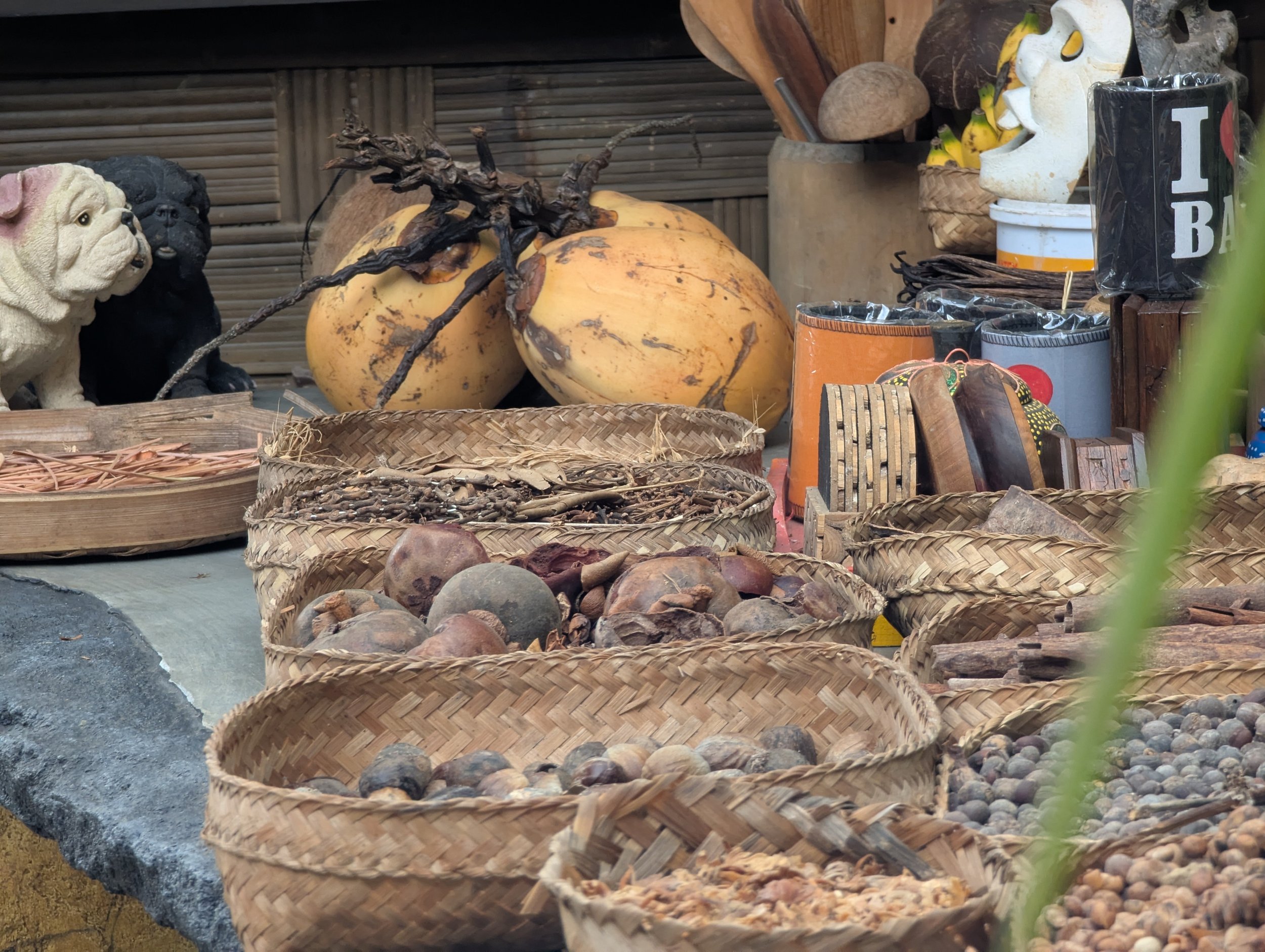
Spices for sales on the trail side between the fork in the road and Labuan Kebo Waterfall
Option 3: The Half-day Loop
Easy · half-day · mostly flat · start and finish at Parking Track Waterfall
Do Option 2, seeing Labuhan Kebo Waterfall and/or Melanting Waterfall, with a pit stop at a cafe, then walk back to the fork and keep going to Red Coral Waterfall.
From Red Coral, return to the fork and head back to the trailhead, with an optional stop at Belong Waterfall on the way.
You'll see 2-4 waterfalls along this route, depending on how many stairs you’re up for.
Option 4: The Half-Day Adventure
Easy except for the challenging last stretch · half-day · start at Parking Track Waterfall and finish at the Golden Valley exit
This is the one for people who like a bit of adventure.
Start like Option 3, seeing Labuhan Kebo Waterfall and/or Melanting Waterfall, followed by Red Coral Waterfall, but instead of returning from Red Coral, follow the trail that heads uphill just before it.
You'll pass a small kiosk run by a lady named Wayan, then continue to Golden Valley Waterfall.
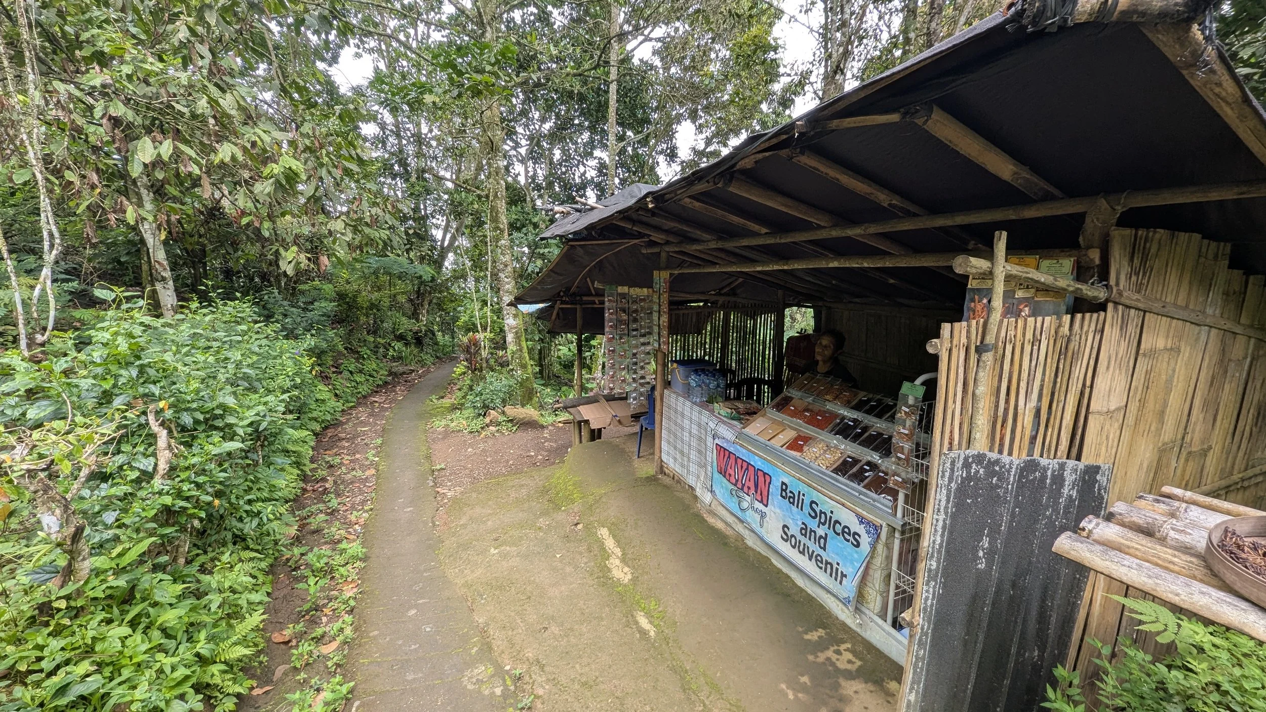
You’ll pass by Wayan’s Shop here soon after Red Coral Waterfall on your way to Golden Valley.
This stretch is less maintained, and parts of the trail are faint, so it can get a bit confusing. Stick to whatever path is left, keep AllTrails or Google Maps open, and follow the sound of the water. We found it, and so will you.
Once you're there, enjoy its majesty and grab a drink at the café. Then ask staff for directions to the trail to the main road, which takes about 10–15 minutes uphill. Have your driver meet you there (see photo below).
Bonus: the Golden Valley café has wifi. If your signal has given up, this is your chance to message your driver.
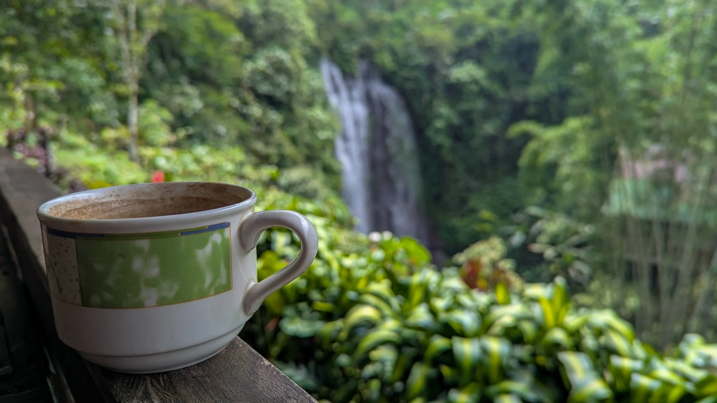
After marvelling up-close at the waterfall, you’ve earned a coffee break at the cafe! Plus, you’ll have WiFi available here if you need it.
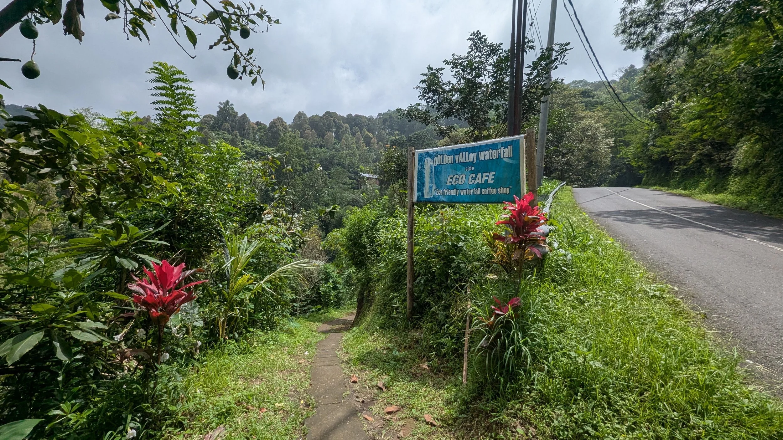
Your driver can meet you at the road here, where you’ll exit Golden Valley Waterfall, should you follow Option 4 in this article.
The Waterfalls at a Glance
| Waterfall | What it's like | Entry fee (per person) | Route options |
|---|---|---|---|
| Belong | Short detour near the trailhead | 20,000 Rp | 1, 2, 3, 4 |
| Red Coral | Tall and skinny | 45,000 Rp | 1, 3, 4 |
| Labuhan Kebo | Wide and powerful | 20,000 Rp | 2, 3, 4 |
| Melanting | Tall and skinny | 20,000 Rp | 2, 3, 4 |
| Golden Valley | Big; see it from above or below | Free | 4 |
Fees are paid in cash at a small kiosk on the way in, so bring small notes if possible. A few waterfalls have cafés and toilets on site. The cafés are nice. The toilets are only fine. Bring tissue and hand sanitizer.
What to Wear & Pack
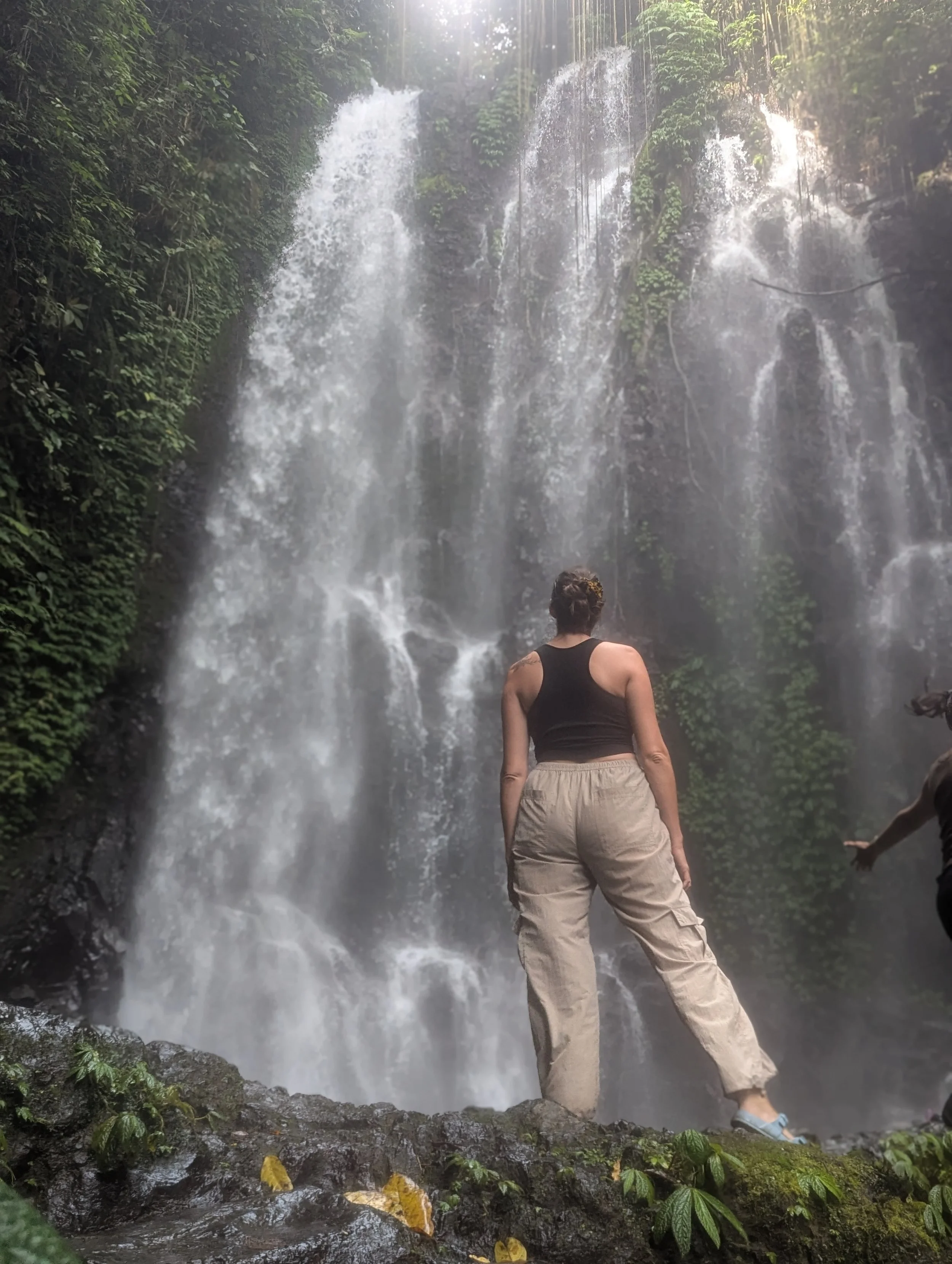
What to Wear:
Hiking sandals OR running shoes
Optional: bring flip-flops or water shoes
Comfortable, athletic clothing
A rain jacket, just in case
What to Bring:
Cash for entry fees, snacks & souvenirs
Tissue and hand sanitizer
A working eSIM + your driver's number saved
Optional: Swimwear and a quick-dry towel
Water, and a little room in your bag for spices
Mosquito repellent & sunscreen
Footwear
The ideal shoe here is a hiking sandal you don't mind getting wet. You can wear them on the trail and straight into the water, no swapping required.
Running shoes work fine too, but you may want to pack a pair of flip-flops or water shoes if you want to go into the rivers or waterfalls themselves.
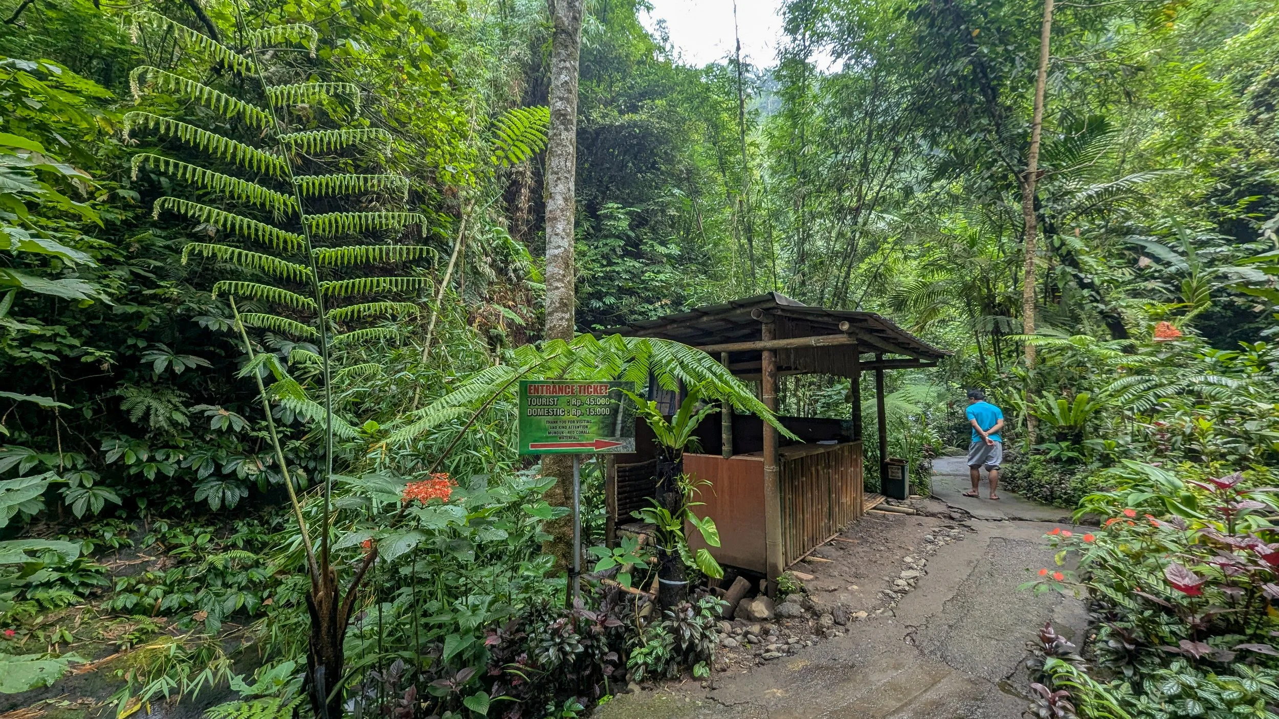
Each waterfall costs 20,000 Rp to visit (45,000 Rp for Red Coral), and can be paid in cash at a kiosk like this one.
Want a hand?
You can hike these trails independently. But if you'd rather skip the logistics, or want a guide who can point out plants you'd walk right by, answer your questions, and share local and cultural context, I can help
Contact me if you want me to arrange a driver to drop you off and meet you at your endpoint and/or to set you up with a local hiking guide.